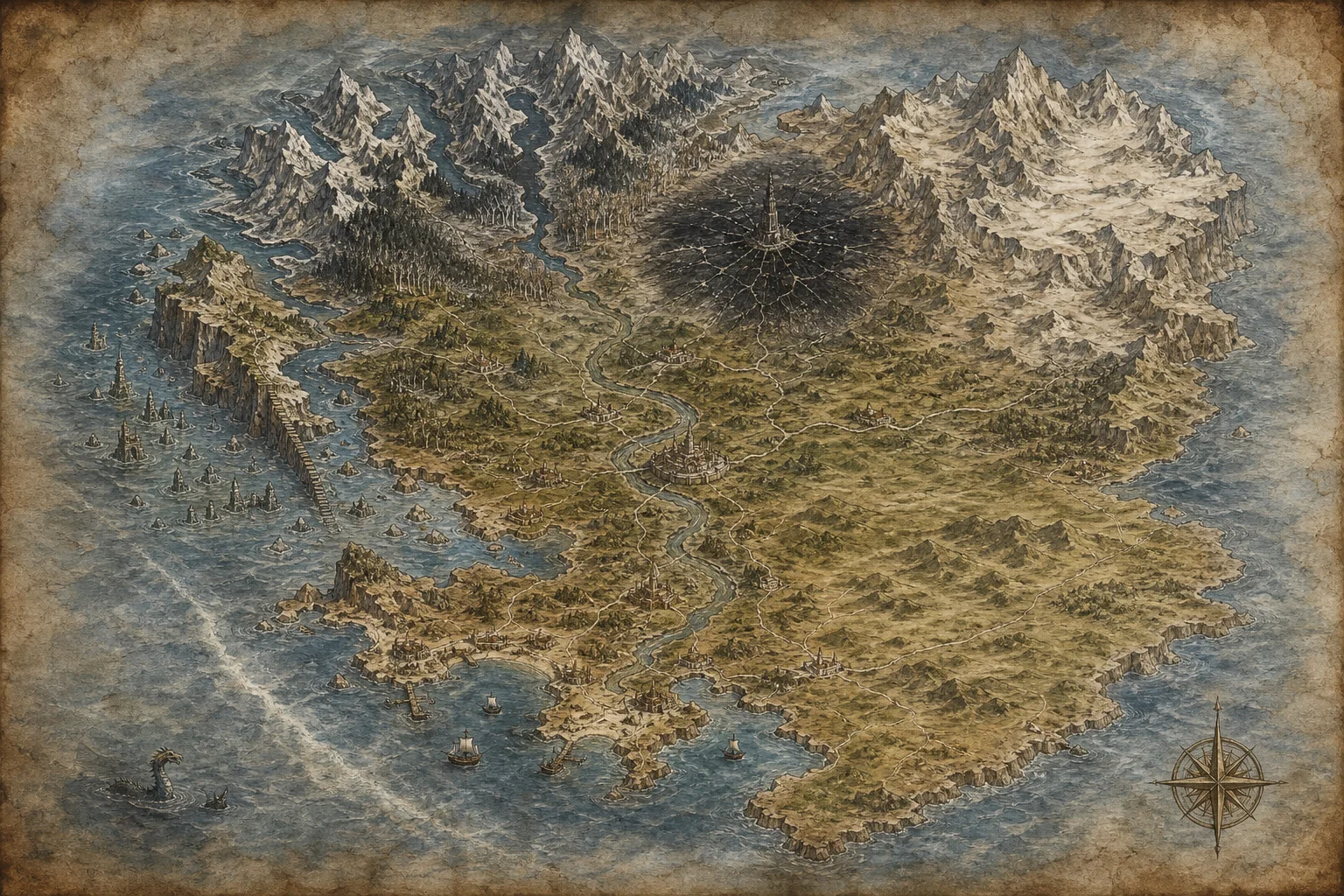
Map of the Reach
The archive’s map, copied from older maps of disputed accuracy. New places are added as the archivists learn of them.
The Hask
Northern clanlands of birch, fjord and long winter.
Varrow
The heartland of the Sundered Empire, ruled by a regency for an empty throne.
The Glassmere
A forbidden waste of black glass where the Cathedral of the Hymns fell.
The Pale See
Eastern highlands ruled by the Pale Choir, who worship the Wound.
The Drowned Coast
The western shore where the kingdom of Ilm sank in a single night.
The Tidebound League
Merchant city-states of the southern coast, bound by debt and charter.
The Ember Steppe
South-eastern grassland of the Khaddan horse-clans.